Mustang, Nepal � the world�s second best walk?
|
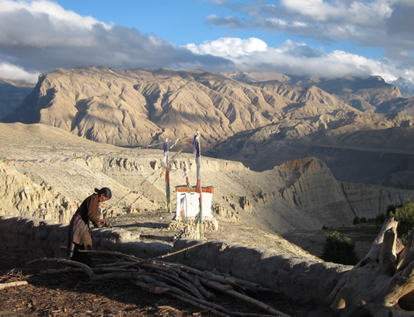
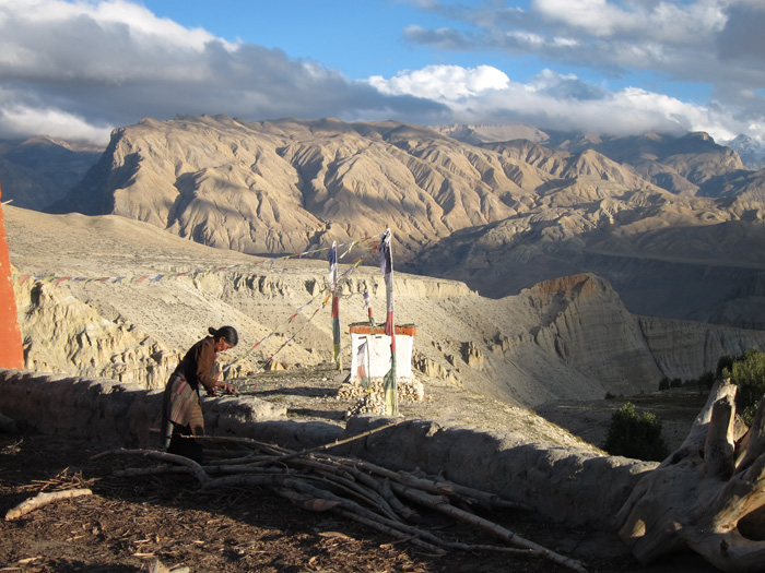
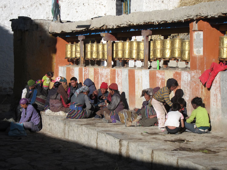
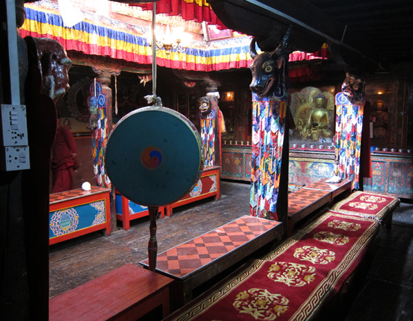
At work, Tsarang
|
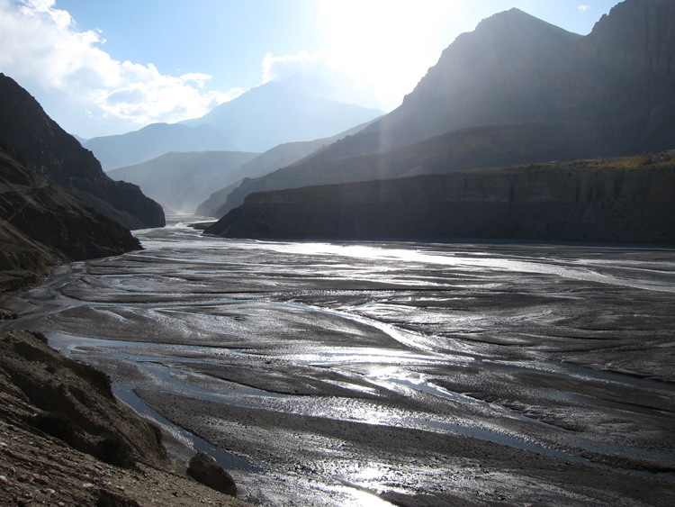
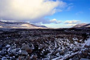
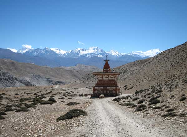
Afternoon near Chhusang
|
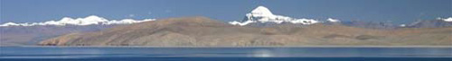
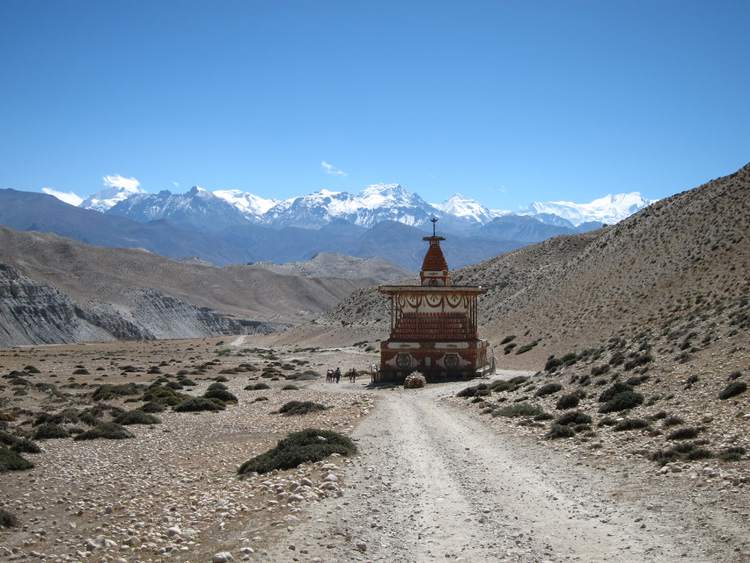
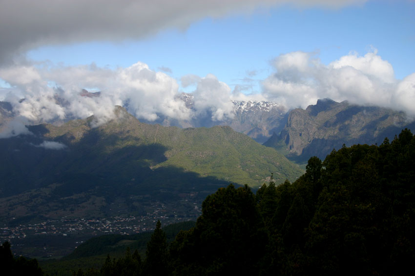
Mustang, the ancient Kingdom of Lo, is physically as well as culturally Tibetan: a high, windy, deeply eroded semi-desert, separated from the great plateau by bare, snow-capped mountains. It lurks in the northern rainshadow of the 8,000m-plus Annapurna and Dhaulagiri massifs, inaccessible from the lowlands and thus culturally unadultered for centuries.
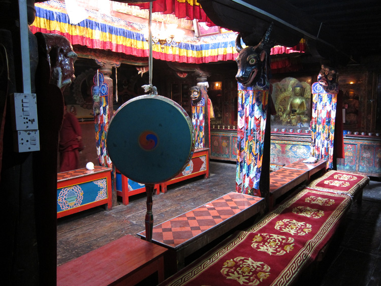
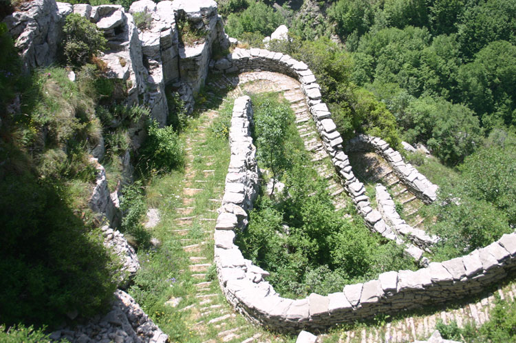
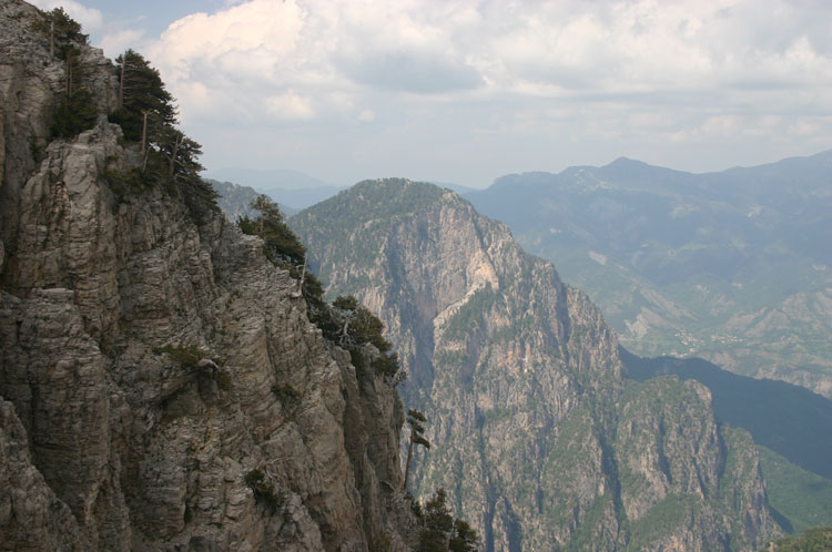
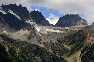
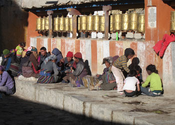
Mustang (Upper Mustang, technically) is a huge basin, surrounded by 6,000m-plus mountains and drained by the vast Kali Gandaki gorge - although this is often well disguised by its wildly broken ridges and side canyons. Like other areas north of the central Himalayan peaks, it is drier and tougher country than most of Nepal, often sparse scrub and bare rock, with towns and hamlets huddled in terracing and trees by the rare water sources. It is thinly populated as a result. After 50 years of Chinese depredation on the plateau, Mustang is more Tibetan than Tibet proper, which often feels hollowed and Disneyfied and where spies can seem to outnumber monks. Every path passes prayer flags and chortens: mani walls abound, often metres long, composed of beautifully carved calligraphic stones, the product of centuries of skilled and dedicated work. Monasteries and hermitages are to be found in quiet corners: caves, rivers and passes, sometimes it feels like every stone, have sacred connotations. The area’s greatest glory is its towns and villages, incredible collections of houses redolent of the European Middle Ages. Families live with their animals, the spiritual world is everywhere, with prayer wheels and chortens on every street corner. As is dung, and not mere animal stuff at that. These are, however, prosperous and comfortably founded places compared to their Tibetan counterparts: there was rich trade to live off and more water than in Tibet, so it was possible to settle, terrace up and cultivate the valley bottoms. The rigours of the plateau have meant that most Tibetans have always been nomads. Walled Lo Munthang (pop apparently 1,000, although it feels like more), the capital, lies in the far north, below the range that separates Mustang from Tibet. As well as the sturdy palace of the Rajas, direct descendants of the kingdom’s 14th century founder, whose rule ended finally in 2008, it contains Mustang’s finest collection of monasteries and a maze of fascinating streets. |
Kagbeni monastery
|
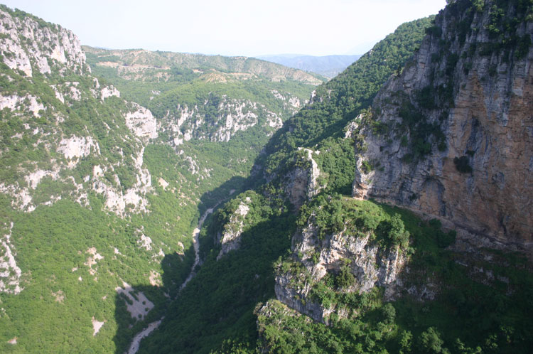
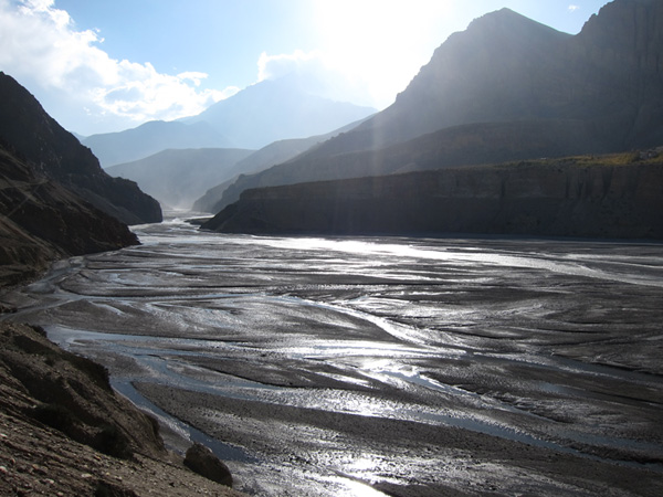
Mustang lay on the main trade route between India and Tibet: salt, wool and spices followed the Kali Gandaki river into its vast gorge between the great Himalayan massifs, one of many aspirants the title of the world’s deepest, that linked the high Tibetan plateau with the steamy lowlands. This resulted in a turbulent history, evidenced by the huddled, defensive-looking villages and the ruins of towers that seem to occupy every bluff above Lo Munthang. It was also the source of centuries of rich religious life and relative prosperity.
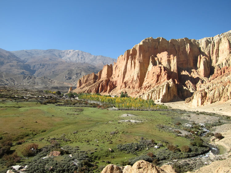
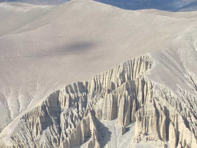
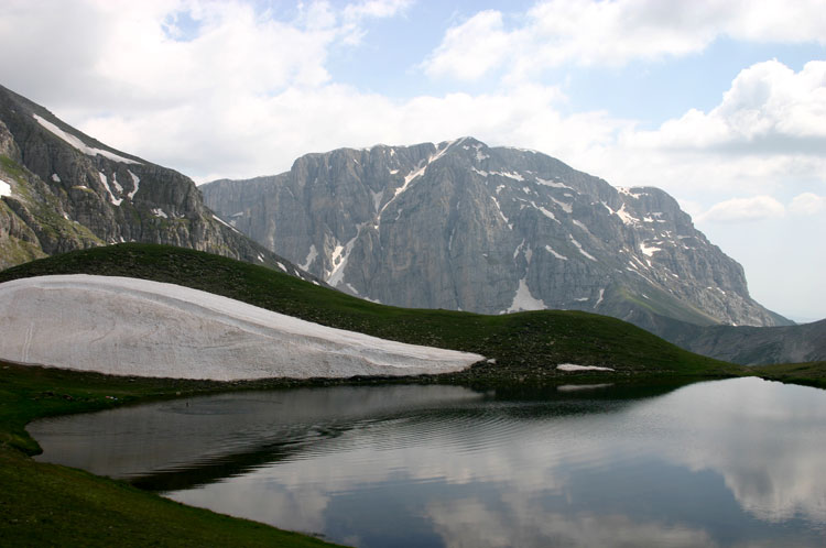
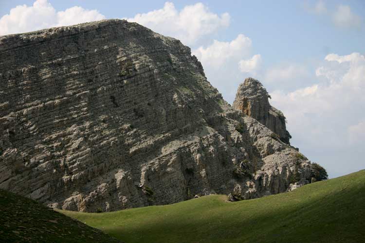
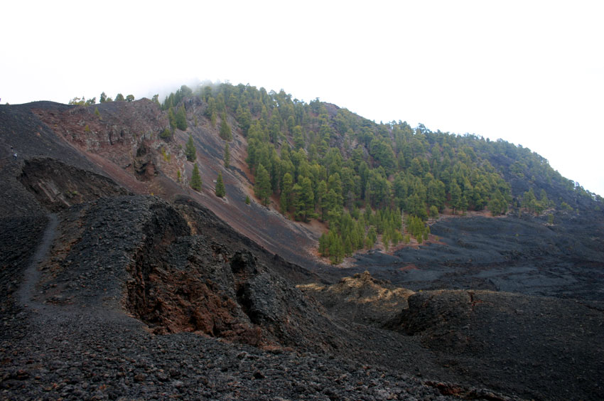
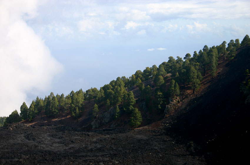
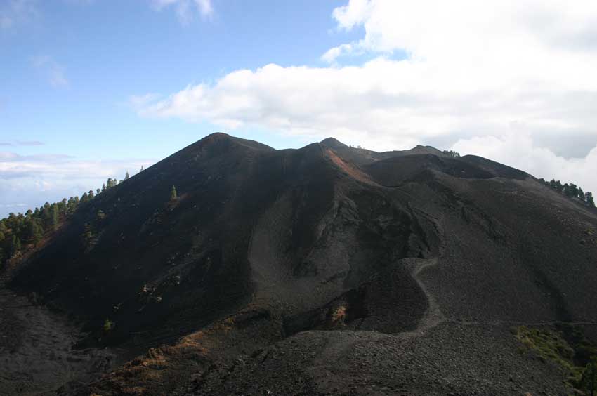
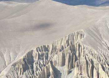
Mustang is astonishingly beautiful in a stark, barren, tree-deprived sort of way. Even geologically, it is Tibetan rather than Himalayan. The primordial Tethys seabed, thrown 4,000 metres skyward by the collision of India and Asia, has eroded into fantastical cliffs and contortions of crumbling sandstone and conglomerate, their vivid colours ranging from reds to ochres to blue-greys. We picked up fossils from 4,000m passes.
Wildlife includes the snow leopard, the blue sheep and, supposedly, the yeti. Eagles and vultures, including huge lammergeiers, are to be seen manoevering on the thermals. Jackels can be heard prowling around village edges at night. |
Lonely chorten
|
Long closed to visitors (it was a base for Tibetan guerilla resistance to Chinese rule and thus a very remote corner of the Cold War), Mustang was opened to visitors in the early 1990s. Even now, only 1,000 permits are issued a year, which really must help the area remain culturally pristine. The centuries of cultural slumber are, however, being rudely broken: a road has been cut the whole way to Lo Munthang, and up to the Tibet/China border. Although (as of 2012) this is a very rough track passable only by the hardiest of jeeps and motorbikes, this must be going to change everything.
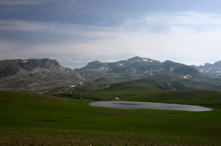
This heady (well, altitudinous, anyway) combination makes for some of the best trekking on earth. Its dryness means Mustang has a much longer trekking season than most of Nepal, although it is a different experience from classic Himalayan trekking, as a result. Mustang treks take a minimum of 10 days, but allow more - 12 upward is the minimum for the best rewards.
You could sort-of teahouse trek in Mustang, although realistically you can only stay in the at times very basic hostels in the villages, which are scattered as a result of the topography and dryness, and you could easily arrive somewhere and find all berths taken. Camping, with full Himalayan-style support, is the best option if affordable, although this isn’t as delightful as the classic Himalayan experience: think a dusty, windblown terrace on the edge of a village, rather than high meadow complete with a stream and an icy peak overhead. That said, you can find some lovely orchards and sheltered corners to park yourself in.
These are tough walks in high, remote mountains, where altitude can cause real problems. Come prepared. |
By monastic quarter, Lo Munthang
|
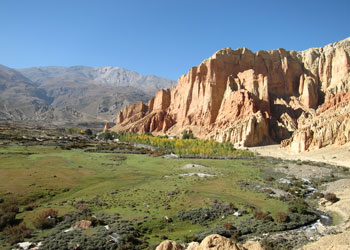
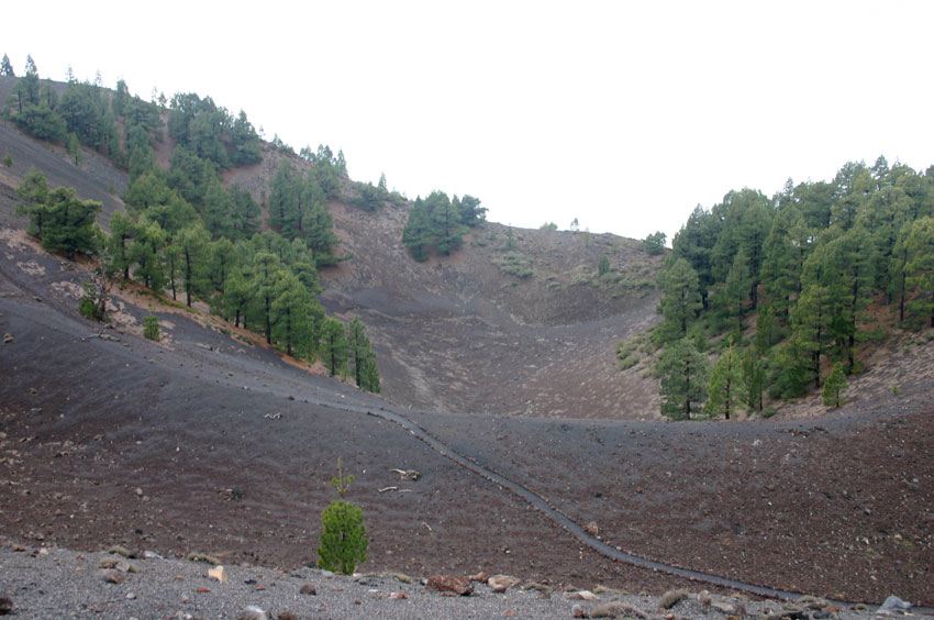
Drakmar valley
|
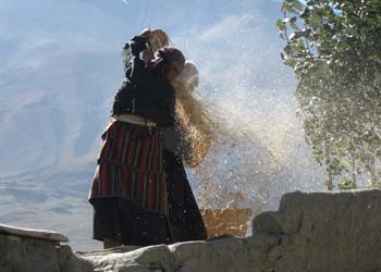
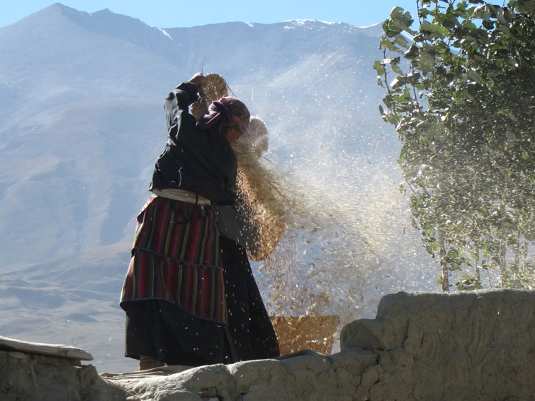
Winnowing
|
Cave dwellings above Ghami
|
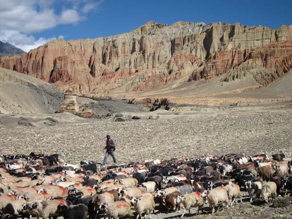
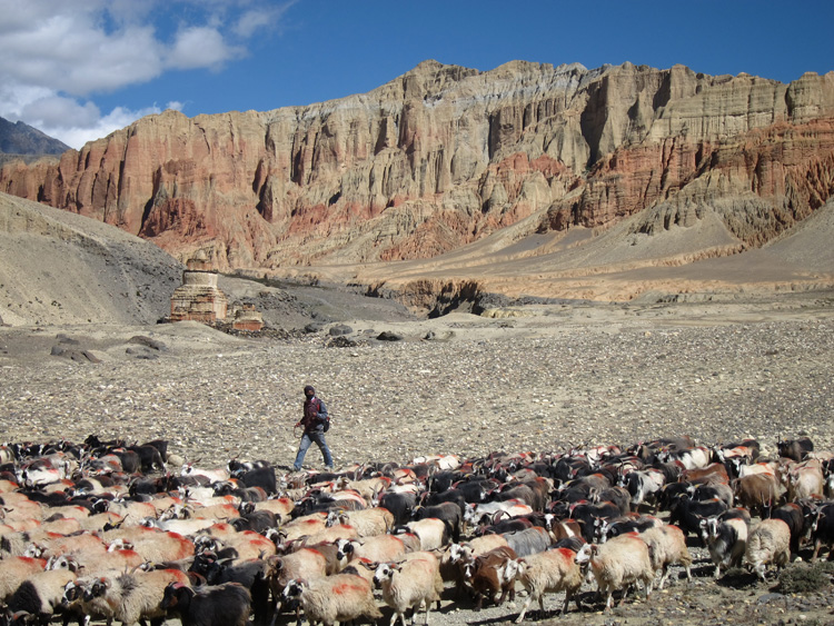
Goats, chorten, Drakmar cliffs
|
|
Walkopedia rating: 99 – Top 100
More information on this walk
William Mackesy’s full account of this walk
|
Best Books:
Nepal Trekking and the Great Himalaya Trail: A Route and Planning Guide - Robin Boustead/Trailblazer
Trekking in the Nepal Himalaya - Lonely Planet
Mustang – Lives and Landscapes of the Lost Tibetan Kingdom – Taylor Wiedman and Nika Wenger - get this.
Nepal - Lonely Planet
The Rough Guide to Nepal - Rough Guides
Nepal - Insight Guides |
Our expedition was organised by the excellent Dendi Sherpa of Happy Feet Travels Ltd. – www.happyfeetmountaineers.com, who were efficient, helpful and flexible to deal with and, we thought, very good value.
|
|