Walkopedia favourite: the Overland Track, Tasmania |
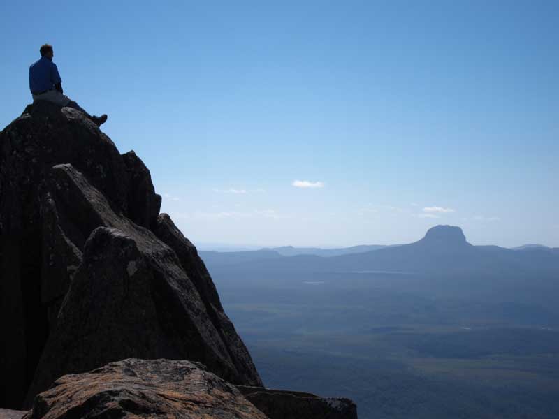
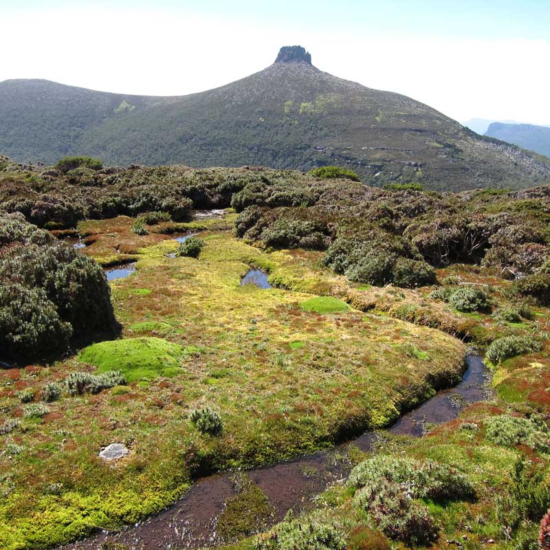
Pelion from Ossa
|
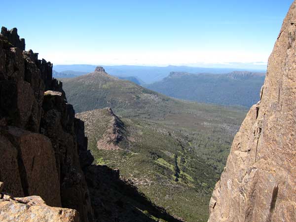
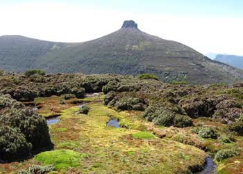
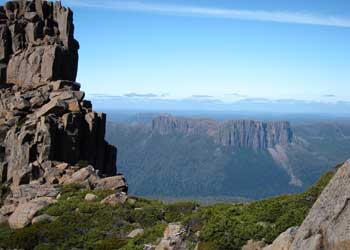
| Tasmania’s best-known trail winds, for six to eight days, depending on whether you allow time for some side trips, through outstanding glacially scoured scenery and varied vegetation. Think peaks, broken ridges, scree, high moorland, perfect lakes, waterfalls, plunging gorges; and near tundra to surprisingly beautiful low scrub to rich, thick forest.
The Overland Track richly deserves its increasing fame. This is one of the most enjoyable – happiness inducing – walks Walkopedia has encountered, despite two days of rain out of six. The Cradle Mountain – Lake St Clair National Park, through which the trail passes, is part a network which constitutes the Tasmania Wilderness World Heritage Area, one of the southern hemisphere’s great wilderness areas. |

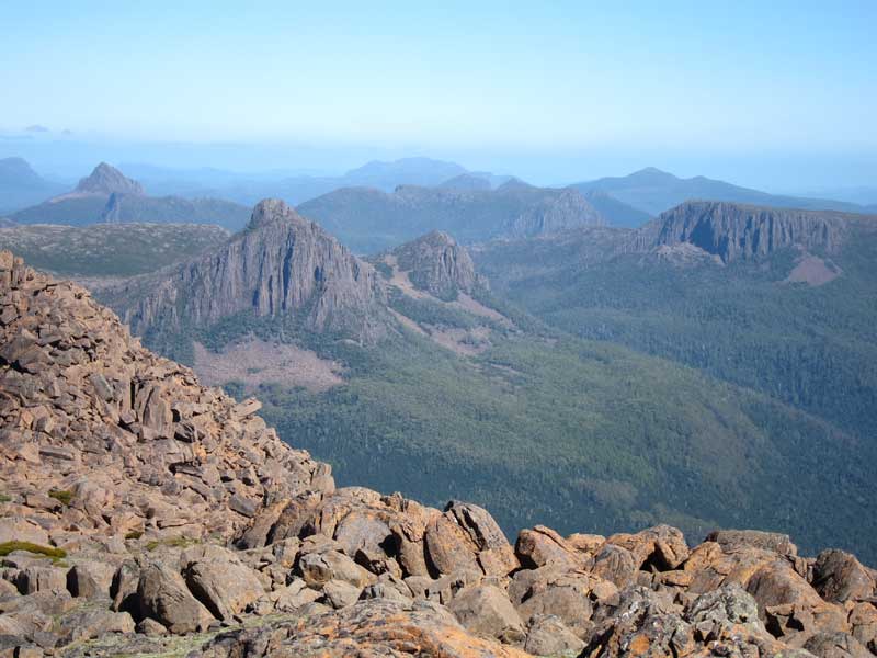
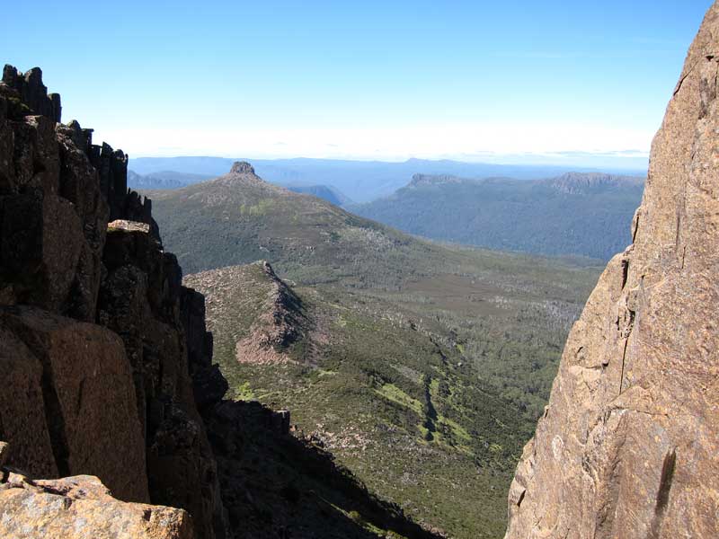
From Pelion Gap
|
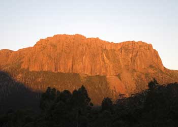
Here you will find genuinely breathtaking (overused expression, but it is thus) scenery: great buttes, scarps, and spires of dolerite rock dominating a world of high moorlands, forest and deep river valleys.
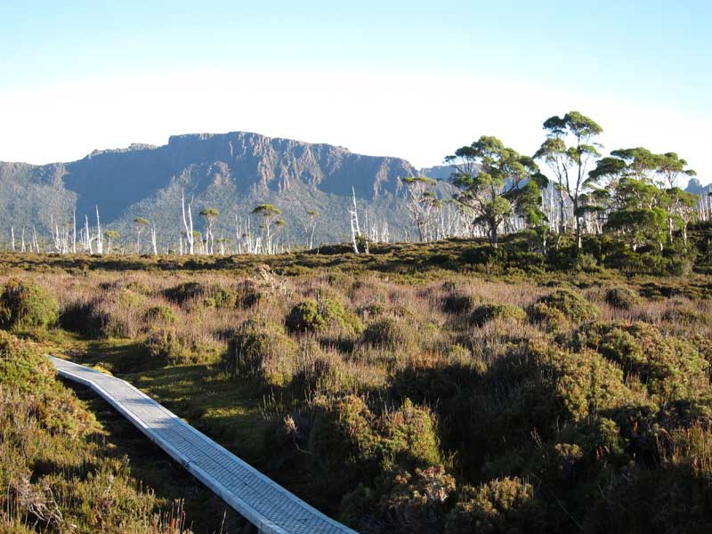
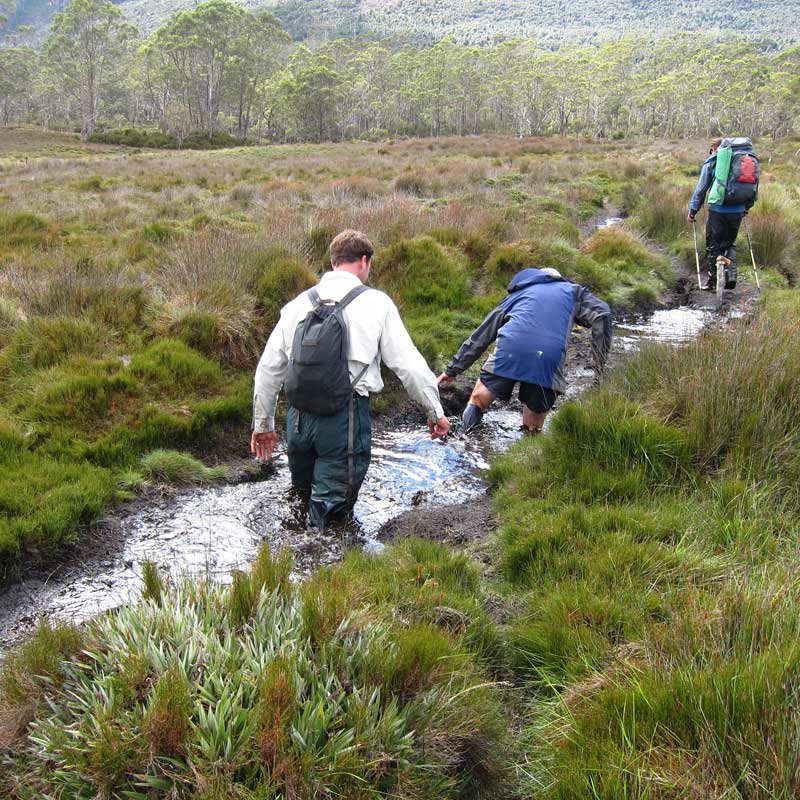
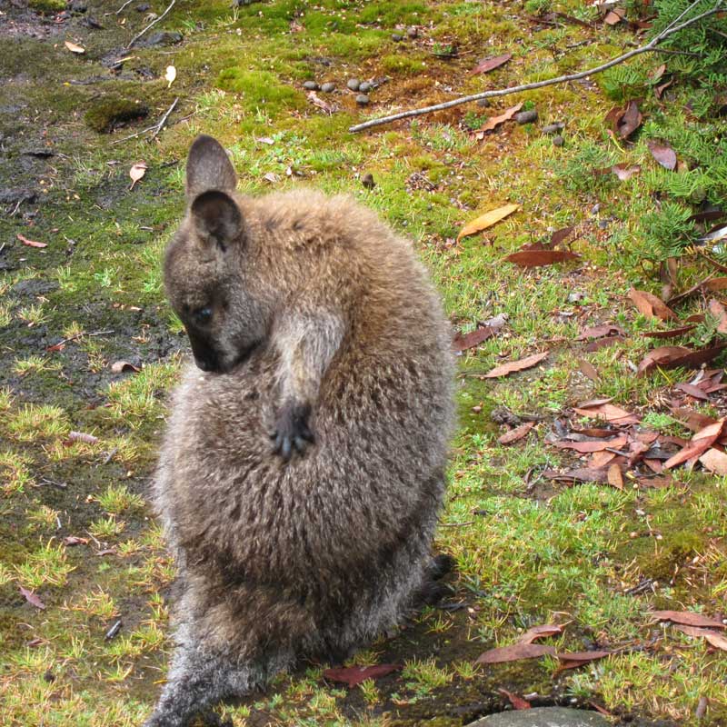
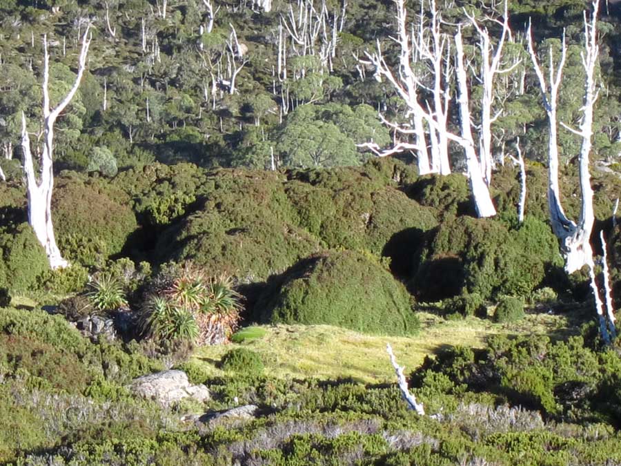
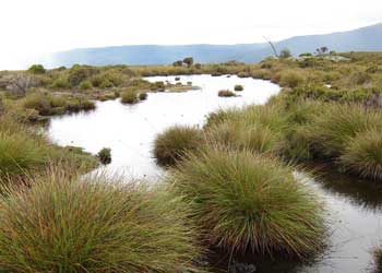
Much of the trail is above the tree line, winding, often on trademark boardwalks, through fragile, almost poignantly beautiful bogs and low shrubland. The forests, when you get there, are themselves delightful and seldom dull. You will meet wallabies and may encounter an enchanting echidna or traces of the Tasmanian devil.
Camping or basic but excellent huts (can be crowded in Summer) are the only options here, so you will need to carry your food, sleeping and cooking kit (fuel stove) � and a tent, so they say, even if you are staying in the huts. Or you can make a guided expedition using the excellent but expensive Cradle Mountain Huts (www.cradlehuts.com.au), which provide food, sleeping bags and a hot shower. |

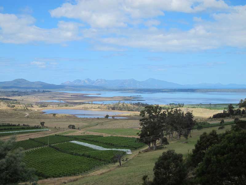
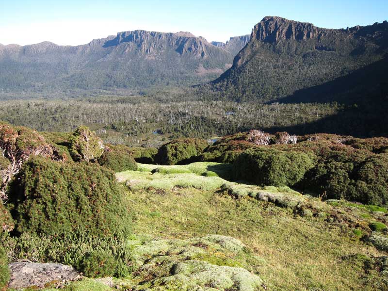
South of Pelion Gap
|
It will be mad not to make some side trips. The views on a good day from Mount Ossa, Tasmania’s highest at 1,617m are to die for – and some have. Cradle Mountain itself shouldn’t be missed and Mount Oakleigh is a tough slither up and down tree roots, but very rewarding. You can safely leave your packs to make the side trips.
Due to its position at the west of an island in the path of the Roaring Forties, the weather here is extremely variable; while it can be lovely, and not just in summer, you must come prepared for, and be philosophical about, some pretty horrible stuff. The summer months are busy (it gets over 9,000 walkers a year), and you will have to book ahead and pay fees; and a north-south journey is imposed. Come prepared: this is tough country.
The numbers are necessarily kept down by a booking system during the popular summer months, when you have to walk north – south. Book well ahead. |
Pelion East from Mt Doris
|
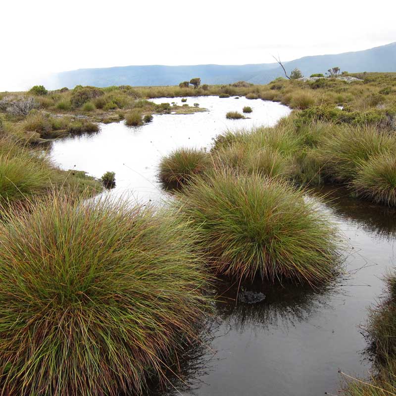
Ridgetop tarns
|
South from Ossa
|
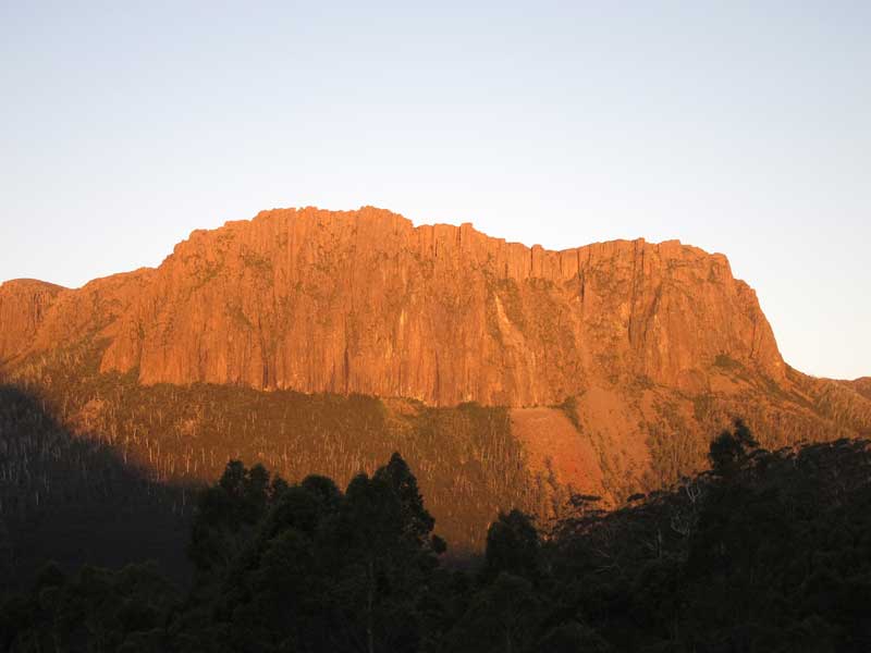
Cathedral Mt from Kia Ora hut
|
|
Walkopedia rating: 88 � Top 100
More information on this walk |
Best Book: Walking in Australia (Lonely Planet) has good details
|
Our expedition was organised by the outstanding Crade Mountain Huts (www.cradlehuts.com.au), who provided excellent and very knowledgeable guides and comfortable and beautifully sited accommodation. Like much in Australia these days, they aren’t cheap, though. |
|