


Ferrovia do Trigo (Wheat Railway)
Key information: Ferrovia do Trigo (Wheat Railway) 
-
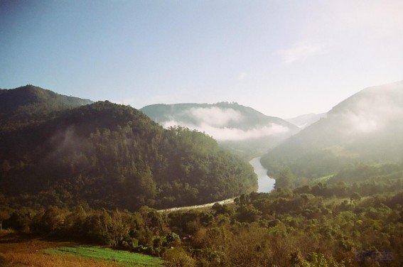
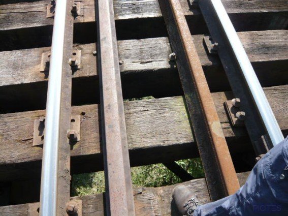
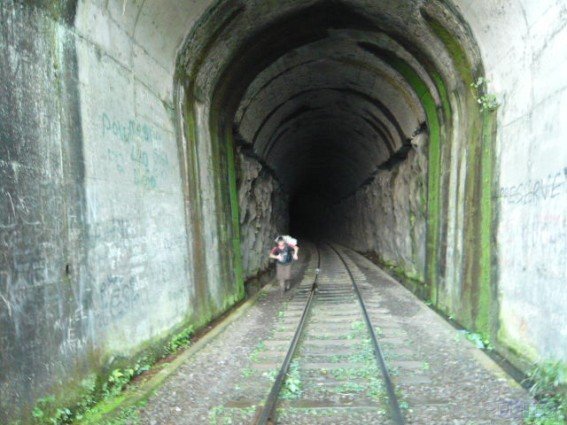
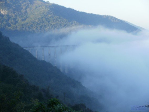
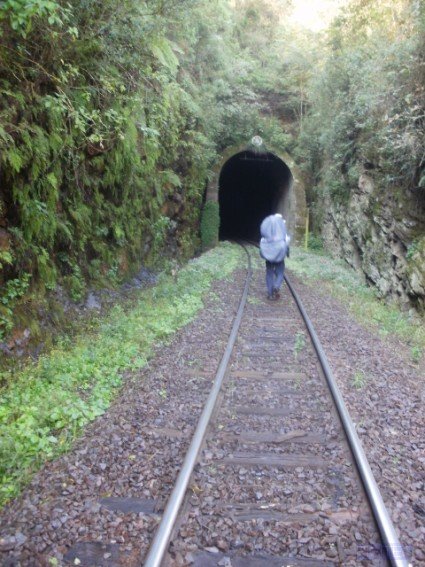
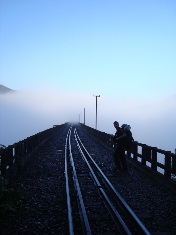
This 50 kilometers trek goes along a railway that stretches from the city of Guapore to the city of Muum, 150Km of Porto Alegre. Enjoy beautiful scenery, varied wildlife and splendid solitude. The trek crosses the second highest railway bridge in the world, and many others, some quease indicung. There are plenty of tunnels,
Walkopedia rating
- Walkopedia rating84
- Beauty30
- Natural interest14
- Human interest10
- Charisma30
- Negative points0
- Total rating84
Vital Statistics
- Length: 50km
- Level of Difficulty: Moderate

WALK SUMMARY
Other accounts: share your experiences
Your comments on this walk, your experiences and suggestions, and your photos are very welcome. Where appropriate, you will be credited for your contribution.

Safety and problems: All walks have inherent risks and potential problems, and many of the walks featured on this website involve significant risks, dangers and problems. Problems of any sort can arise on any walk. This website does not purport to identify any (or all) actual or potential risks, dangers and problems that may relate to any particular walk.
Any person who is considering undertaking this walk should do careful research and make their own assessment of the risks, dangers and possible problems involved. They should also go to “Important information” for further important information.

Anyone planning an expedition to this place should see further important information about this walk.

Responsible travel matters, a lot. How you travel will make a real difference - for better or worse. PLEASE consider this when making plans. Read more
Contents
Other great walks in Brazil
RESEARCH ESSENTIALS
Information and review
Finding flights, organising travel
Car hire
Accommodation
- Booking.com
 Search and book the best places to stay
 -
TripAdvisor
Equipment & Clothing
Books and Maps
- Amazon
- Maps and guides from Maps Worldwide
- Cicerone � explore the world�s best collection of walking books
Holidays and Activities

MAGAZINE

Walking with Trees: the Kumano Kōdō Kōhechi - Stephen Barber's account and photos of one of Japan's great pilgrimage trails. March 2021
RESPONSIBLE TRAVEL
Responsible travel matters, a lot. How you travel will make a real difference - for better or worse. PLEASE consider this when making plans. Read more